Reading time: 3 minutes, 24 seconds.
During natural disasters and global emergencies, any situation can change in less than a minute. Therefore, the actions of the first responders towards the most vulnerable people are crucial. Determining the initial actions could be difficult for the first responders, as they may not know for certain how to reach the survivors of the disasters.
One of the challenges about Information and Communication Technologies in the context of development is “to empower people to develop a critical consciousness of ICT, given that ICT is not neutral, and that people hold many diverse meanings and uses for ICT regardless of their intended purpose” – Bentley, Nemer & Vanini (2019)
Access to data and accurate information such as maps or satellite data is crucial for humanitarian workers to respond correctly and in a timely way.
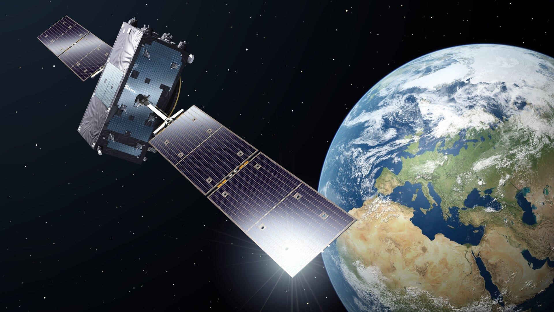
“Satellite imagery can aid in early warning and risk assessment in the pre-disaster phase, and to assess damage and coordinate relief in the post-disaster phase” – UN-Spider (n.d.)
Then and now
Almost two decades ago in 2007, the UN began to look for the potential of satellite data in availing humanitarian disaster responses. It was clear that satellite data was beneficial for humanitarian disaster response. However, there were some negative aspects of satellite data next to the positive ones. First, the costs of satellite images were high. Second, time was needed for transforming the raw satellite data into useful material, which involved lots of coding. Besides these issues, satellite images just showed what was there at that specific time. For instance, if there was a flood, the water could be clearly seen with images of the Earth but it may not be possible to detect which areas are under water or which roads are blocked.
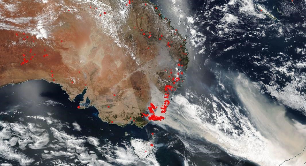
As technology is more advanced in today’s world, contemporary satellite images are much more detailed. The images now have high-resolution, which enables analysts to trace what is seen and distinguish small objects on the image. Satellite images are also cheaper and easier to access than ever before, which helps analysts to engage with various development issues by combining maps, satellite data and other sources. For instance, satellite imagery was crucial during the Australian forest fires earlier this year. These images captured which way the fires were spreading by looking to the direction of the bushfire smoke. As the smoke from fires has become a major danger, detecting where the smoke was heading was crucial in this process.
Satellite imagery: A solo act?
Satellite images provide beneficial information; however, these images can be limited to an extent. For example, humanitarian responders cannot get information about the population by only using satellite images, which is crucial for first responders to act in a timely and accurate way during or after a humanitarian disaster. The importance of local knowledge is essential in these situations. Local knowledge helps to understand the areas that are affected and the degree of the damage that is done. Therefore, satellite imagery should be combined with other data sources to provide more knowledge and respond accordingly.
A recent study on the status of Earth Observation and Geo-Information Sciences in Africa also demonstrates that the continent has witnessed a steady advancement in space-based technologies which are seen as “an essential tool for decision-making that can leapfrog African development”. Thus, satellite imagery can be useful in development not only in humanitarian disasters but also in other fields such as the agricultural sector. For instance, satellite images can be used in the agricultural sector to monitor crops. This helps to ensure that farmers can see whether more or less water is needed for products to grow. In this way, productivity improves.
As satellite images make data accessible for development applications, it can help to advance development. As it can be understood, data has a direct effect on development which is mainly beneficial. However, as said before, ICT is never neutral. Therefore, data privacy still remains one of the major dilemmas in the context of using satellite imagery.
What do you think about satellite imagery? Do you have other examples about the use of satellite images in the context of development?
This post is written by Aylin Karaarslan. Find out more about the authors of this blog.
References
Bentley, C.M., Nemer, D. & Vannini, S. (2019). When words become unclear: unmasking ICT through visual methodologies in participatory ICT4D, AI & Society, 34, 477–493.
UN Spider (n.d.). Data application of the month: Emergency Response. Retrieved from http://www.un-spider.org/links-and-resources/data-sources/daotm-emergencyresponse#:~:text=Satellite%20imagery%20can%20aid%20in,hospitals%20and%20other%20important%20infrastructure
United Nations Office for Outer Space Affairs (UNOOSA) (n.d.) UN Nations Programme on Space Applications: Reports. Retrieved from https://www.unoosa.org/oosa/en/ourwork/psa/reports/index.html
Woldai, T. (2020). The status of Earth Observation (EO) & Geo-Information Sciences in Africa – trends and challenges, Geo-spatial Information Science, 23:1, 107-123, DOI: 10.1080/10095020.2020.1730711